Work faster with
Studio

Studio understands plain language to find, measure, and monitor features on Earth to build validated datasets.
Months of coding and hand-labeling, down to minutes: describe what you're looking for, label a few examples, get a transparent, scored dataset back.
Query → Refine → Export, and the agent drives it end to end.
-
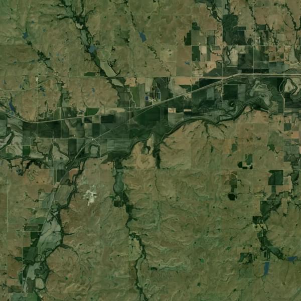
 Chat With Your Map
Ask questions in plain language and see the map respond in real time. Follow up, refine, or filter results.
Use Studio as a SaaS web app, or hand the same capabilities to your own agents through our MCP server — same agent, different doors in.
Plain language, no query syntax to learn.
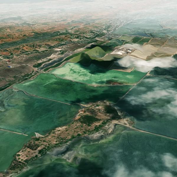
Seed your Search
Studio takes whatever description you give it and starts searching immediately, by meaning, not keywords. You can always add to the seed later; it's a starting point for the loop, not a locked-in query.
Iterative similarity search and label review to reduce false positives.
Review and Validate Candidates
Studio’s iterative workflows reduce false positives and continuously improve accuracy. Surface potential matches with ranked confidence scores and key metadata for each finding, then validate results quickly. Add feedback to refine outputs in real time.
Publish and export datasets.
Export Data Your Way
Publish results in formats that fit seamlessly into your existing stack, from CSVs and GeoJSON to shapefiles, KML, and image tiles. LGND ensures compatibility across modern and legacy systems.
Share Datasets Across Teams
Organize validated results into model-ready datasets that can be used across teams and tools. Studio makes it simple to move from exploration to operational use.
Explore more products